A solar site assessment evaluates a property’s suitability for photovoltaic (PV) systems by measuring solar resource, structural capacity, electrical readiness, and financial viability. This process combines remote-data screening, in-person inspection, and advanced measurement to reduce installation risk and optimize energy yield, enabling clearer ROI estimates and reliable system design. Readers will learn step-by-step methods for preliminary screening, how to conduct a physical site inspection, best practices for shading and irradiance measurement, electrical and load analysis, and how financial and regulatory factors shape feasibility.
A preliminary solar site evaluation screens a property quickly to determine whether it warrants a full solar feasibility study by using geographic data, irradiance maps, and basic obstruction checks to estimate potential energy production. Rapid screening reduces time spent on unfeasible prospects and focuses resources on high-likelihood sites, improving prospecting efficiency and early-stage ROI estimation. Early screening commonly draws on satellite imagery to approximate annual solar irradiance and probable system orientation. This phase also categorizes the site as rooftop or ground-mount, flags obvious shading or land-use constraints, and outlines next steps for detailed inspection. Effective initial screening sets the scope for a detailed physical site inspection and determines which measurement technologies will be required for an accurate solar site survey. The next step is a focused method for performing preliminary solar exposure and geographic screening in the field and with GIS tools.
Solar irradiance at a specific location depends on latitude, typical cloud cover, local aerosols, surface albedo, and terrain shading, all of which alter annual and seasonal energy yield. Latitude primarily determines sun path and maximum available peak-sun-hours, while local climate—cloudiness and humidity—reduces insolation variability and average irradiance. Atmospheric particulates and pollution scatter incoming radiation and can lower effective energy capture, and surface reflectivity (albedo) can slightly increase diffuse irradiance on ground-mounted systems. Terrain and nearby obstructions cast shadows at certain times of day and year; integrating these environmental variables yields a realistic site suitability profile and informs expected annual kWh production.
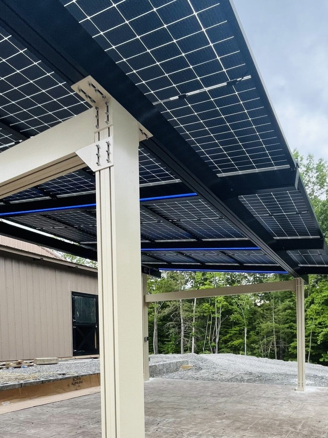
A detailed physical site inspection is an in-person, methodical evaluation of roof or ground conditions, mounting feasibility, access and safety, and exact obstruction mapping to prepare for design and permitting. Inspectors measure roof pitch, material condition, structural framing, and penetration points while documenting HVAC, vents, and other rooftop equipment that constrain layout. For ground-mount projects, soil bearing capacity, drainage, fencing, and grading are evaluated to determine foundation and racking choices. A thorough inspection also records electrical entry points, meter locations, and clearances needed for inverter placement and conduit runs. Findings from the inspection directly inform structural calculations, final system sizing, and whether remediation or reinforcement is required before installation. This leads into targeted approaches for identifying and managing shading and structural obstructions discussed next.
Roof evaluations must measure pitch, remaining serviceable life, material type, and structural capacity, since panels and racking add distributed loads that require verified support. Inspectors note roof age, visible deterioration, and locations of penetrations and skylights that reduce usable area; older roofs often justify replacement before PV installation, affecting project timing and cost. Structural checks include rafter spacing, shear walls, and load paths to the foundation to confirm distributed live and dead loads; when capacity is marginal, reinforcement plans are developed. For ground-mount sites the inspection documents soil bearing, erosion risk, access for construction equipment, and long-term drainage patterns to determine foundation design and maintenance needs.
Seasonal variation alters incident angle, day length, and weather patterns, which together shift energy yield profiles throughout the year and affect array tilt and orientation decisions. Winter sun paths produce lower irradiance but often clearer skies in some climates, while summer provides higher insolation but can include hotter temperatures that slightly decrease module efficiency. Snow cover and soiling periodically reduce output and require design considerations such as steeper tilt for snow shedding or maintenance plans for cleaning. Accurate seasonal modeling enables expected monthly and annual production curves, which are essential for cash-flow forecasts and energy storage sizing.
Assessing electrical infrastructure and energy consumption requires a methodical review of service capacity, main panel and meter arrangements, transformer sizing, and a detailed load analysis from historical utility bills to match PV sizing to consumption patterns. The process starts with historic bill collection to derive kWh use, demand charges, and time-of-use profiles, then overlays projected system production to size PV and storage appropriately. Inspect the site’s main service rating, conduit spaces, and potential for interconnection upgrades, noting indicators that point to utility-side modifications. Clear documentation of electrical constraints and load behavior informs inverter selection, potential storage integration, and whether staged installations or equipment upgrades are necessary. The next subsections detail key system requirements and practical bill-analysis steps.
Key electrical requirements include adequate main service capacity, appropriate inverter sizing, proper grounding, and compliance with anti-islanding and grid interconnection rules to ensure safe operation and code compliance. Inverter selection must match system peak DC input and anticipated AC export limits while leaving space for monitoring hardware and disconnects within equipment rooms. Grounding and surge protection guard system components and reduce maintenance risk, and wiring routes are planned to minimize voltage drop and meet NEC ampacity tables. Where existing service limits production, plans may include on-site load shifting, energy storage, or utility upgrade pathways to avoid costly immediate transformer or service replacements.
Historical usage is analyzed by extracting monthly and hourly load profiles from utility bills or interval meters to identify base load, peak demand, and time-of-use impacts, which drives sizing for PV and battery systems. Analysts construct normalized consumption curves, adjust for known changes (new equipment, EVs), and model projected growth to avoid under-sizing a system. Using production modeling tied to irradiance forecasts, designers match expected PV output against load profiles to target self-consumption, demand charge mitigation, or export strategies. Monitoring duration recommendations depend on variability; for businesses with stable operations, 12 months is often sufficient, whereas seasonal operations may require longer monitoring to capture variability.
Permitting and compliance typically require building permits, structural drawings, electrical schematics, and utility interconnection applications, each with specific documentation and review timelines that vary by jurisdiction. Building departments often require stamped structural calculations when roof modifications or added loads exceed local thresholds, while utilities require interconnection forms and possibly a study for systems that export significant power. HOA or local zoning reviews may add constraints related to visibility, setbacks, or system height, and environmental permits may be needed for ground-mounted systems in sensitive areas. Anticipating these steps with an application timeline streamlines project delivery and reduces costly rework associated with missing documentation. After regulatory and financial evaluation, technology choices play a key role in measurement accuracy, which is addressed in the next section.
Advanced technologies—3D modeling and remote-sensing platforms—significantly enhance the accuracy and speed of site assessments by producing high-resolution geometry, surface reflectance, and obstruction height data that feed into precise performance models. These technologies reduce measurement uncertainty in array spacing, racking placement, and inter-row shading calculations, which improves production confidence and de-risks bankable estimates. 3D models enable clash detection for rooftop mechanicals and help structural engineers simulate loads more precisely. When integrated with irradiance time-series and historical weather datasets, these technologies support more defensible financial models and streamlined permitting submittals. These capabilities make complex sites and large commercial roofs manageable with lower on-site risk and faster turnaround. For organizations that want a technology-enabled survey, Green Wave Solar performs advanced surveys and can provide quoted options .
Remote assessment tools such as satellite irradiance datasets, GIS overlays, and machine-learning-based shading estimators enable rapid prospecting and initial scoping without immediate field deployment, accelerating pipeline qualification for portfolios of sites. These tools trade off some local accuracy for speed, but when paired with targeted in-person verification they reduce field costs and compress project timelines. Confidence levels vary by data source; for example, satellite-derived irradiance is suitable for early-stage screening but must be validated with on-site irradiance sensors or high-resolution surveys for bankable estimates. Using remote tools strategically speeds decision cycles while ensuring in-person measurements are reserved for final design and permit-ready deliverables.
For clients who prefer a fully integrated technology-led assessment, professional providers can combine remote screening with targeted high-resolution surveys to balance cost and accuracy.
Green Wave Solar offers a streamlined, technology-enabled site assessment pathway that couples remote resource analysis with optional high-resolution surveys and a detailed feasibility quote; interested readers may request a free or quoted site assessment to evaluate specific sites and incentives.
For professional support in moving from screening to a bankable feasibility study, Green Wave Solar can provide technology-enabled surveys and quoted assessments tailored to rooftop, ground-mount, or commercial projects. Their services pair high-resolution mapping with incentive and electrical feasibility analysis to produce action-ready recommendations and estimated economics. Contact Green Wave Solar to request a site assessment and receive a quoted scope and deliverables to help finalize design and financing decisions.
Address: 231 W Rutherford Blvd
Murfreesboro, TN 37130
Phone: 615-237-1737
Business Hours:
Mon - Fri: 7:30 AM - 4:30 PM
Sat & Sun: Closed